 Orange Star
Current Status
Where is the vessel?
Orange Star is currently in 28 nm SW of CUL DESAC, based on AIS data received about 6d ago.
Latest AIS update:
Current position: 13.74686° N, 61.43694° W (28 nm SW of CUL DESAC)
Average speed (last 7 days): Loading…
Average speed (last 30 days): Loading…
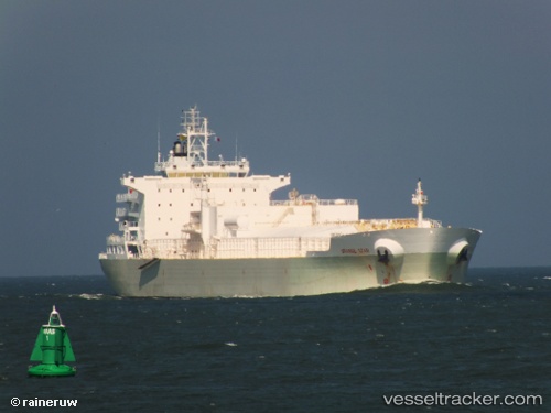
Vessel profile: Orange Star is a Fruit Juice Tanker with dimensions 190m x 32m.
This page combines live AIS, route history, probable destination signals, nearby traffic, and port activity for practical vessel monitoring.
The current position of vessel Orange Star is 13.74686 lat / -61.43694 lng. Updated: 2026-05-13 06:10:52 UTCNearest reference points:
- Near Gros Islet
- Near Kingstown
- Near LE MARIN
Currently sailing under the flag of Liberia ![]()
Orange Star built in 2011 year
Deadweight:
36994 tDetails:
Live Vessel Orange Star Analytics (details, animations, etc.)
Recent AIS points (UTC):
2026-05-13 06:10:52 UTC · 13.74686, -61.43694 · SOG 13.1 kn · COG 123°2026-05-13 06:10:52 UTC · 13.74686, -61.43694 · SOG 13.1 kn · COG 123°
2026-05-13 06:10:52 UTC · 13.74686, -61.43694 · SOG 13.1 kn · COG 123°
2026-05-13 06:10:52 UTC · 13.74686, -61.43694 · SOG 13.1 kn · COG 123°