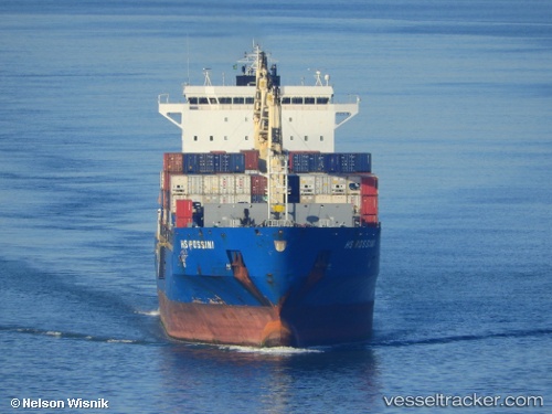
Bomar Rossi
Current StatusWhere is the vessel?
Bomar Rossi is currently in 189 nm NW of Tinaquillo, based on AIS data received about 14h ago.
Latest AIS update:
Current position: 12.32667° N, 66.22833° E (189 nm NW of Tinaquillo)
Average speed (last 7 days): Loading…
Average speed (last 30 days): Loading…
Vessel profile: Bomar Rossi is a Container Ship with dimensions 32m x 228m.
This page combines live AIS, route history, probable destination signals, nearby traffic, and port activity for practical vessel monitoring.
The current position of vessel Bomar Rossi is 12.32667 lat / 66.22833 lng. Updated: 2026-06-22 23:49:51 UTCNearest reference points:
- 187 nm N of Tinaquillo
Details:
Live Vessel Bomar Rossi Analytics (details, animations, etc.)
Recent AIS points (UTC):
2026-06-22 19:37:54 UTC · 12.01667, 66.95333 · SOG 10 kn · COG -1°2026-06-22 21:58:52 UTC · 12.18833, 66.54833 · SOG 11 kn · COG -1°
2026-06-22 22:28:56 UTC · 12.22667, 66.46000 · SOG 10 kn · COG -1°
2026-06-22 23:49:51 UTC · 12.32667, 66.22833 · SOG 11 kn · COG -1°