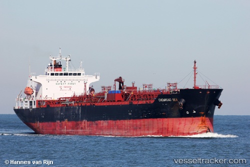
 Chemroad Sea
Current Status
Where is the vessel?
Chemroad Sea is currently in Near Daxie Pt, based on AIS data received about 63d ago.
Latest AIS update:
Current position: 29.78250° N, 122.08099° E (Near Daxie Pt)
Average speed (last 7 days): Loading…
Average speed (last 30 days): Loading…
Vessel profile: Chemroad Sea is a Chemical Oil Products Tanker with dimensions 170m x 172m.
This page combines live AIS, route history, probable destination signals, nearby traffic, and port activity for practical vessel monitoring.
The current position of vessel Chemroad Sea is 29.78250 lat / 122.08099 lng. Updated: 2026-05-12 02:00:11 UTCNearest reference points:
- Near Daxie Pt
- 10 nm SE of Daxie Pt
- Near ZHOUSHAN
Currently sailing under the flag of Panama ![]()
Chemroad Sea built in 2011 year
Deadweight:
33560 tDetails:
Live Vessel Chemroad Sea Analytics (details, animations, etc.)
Recent AIS points (UTC):
2026-05-12 02:00:11 UTC · 29.78250, 122.08099 · SOG 0.1 kn · COG 216°