 SONGA NEPTUNE
Current Status
Where is the vessel?
SONGA NEPTUNE is currently in 81 nm W of Yanbu al-Bahr, based on AIS data received about 15h ago.
Latest AIS update:
Current position: 23.80858° N, 36.57921° E (81 nm W of Yanbu al-Bahr)
Average speed (last 7 days): Loading…
Average speed (last 30 days): Loading…
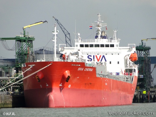
Vessel profile: SONGA NEPTUNE is a Oil/Chemical Tanker with dimensions m x m.
This page combines live AIS, route history, probable destination signals, nearby traffic, and port activity for practical vessel monitoring.
The current position of vessel SONGA NEPTUNE is 23.80858 lat / 36.57921 lng. Updated: 2026-05-19 14:25:44 UTCNearest reference points:
- 74 nm SW of Yanbu
- 30 nm SW of Yanbu
- 35 nm S of Umm Lajj
Currently sailing under the flag of Marshall Islands ![]()
Details:
Live Vessel SONGA NEPTUNE Analytics (details, animations, etc.)
Recent AIS points (UTC):
2026-05-19 10:09:54 UTC · 23.04444, 36.98287 · SOG 12.3 kn · COG 324°2026-05-19 11:57:03 UTC · 23.37102, 36.80797 · SOG 12.2 kn · COG 331°
2026-05-19 13:18:53 UTC · 23.61330, 36.68307 · SOG 11.5 kn · COG 333°
2026-05-19 14:25:44 UTC · 23.80858, 36.57921 · SOG 11.8 kn · COG 333°