 vesseltracker.com
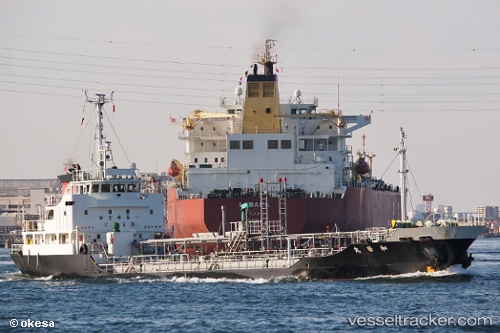
Wakamaru
Current StatusWhere is the vessel?
Wakamaru is currently in Near MARUGAME, based on AIS data received about 14h ago.
Latest AIS update:
Current position: 34.29500° N, 133.78667° E (Near MARUGAME)
Average speed (last 7 days): Loading…
Average speed (last 30 days): Loading…
Vessel profile: Wakamaru is a Chemical Tanker with dimensions 10m x 65m.
This page combines live AIS, route history, probable destination signals, nearby traffic, and port activity for practical vessel monitoring.
The current position of vessel Wakamaru is 34.29500 lat / 133.78667 lng. Updated: 2026-05-18 10:40:23 UTCNearest reference points:
- Near Sakaide
- Near Ayagawa
- Near MIZUSHIMA
Details:
Live Vessel Wakamaru Analytics (details, animations, etc.)
Recent AIS points (UTC):
2026-05-18 06:40:24 UTC · 34.29667, 133.78667 · SOG 0 kn · COG -1°2026-05-18 07:45:22 UTC · 34.29668, 133.78792 · SOG 0 kn · COG 66°
2026-05-18 09:54:18 UTC · 34.29670, 133.78795 · SOG 0 kn · COG 65°
2026-05-18 10:40:23 UTC · 34.29500, 133.78667 · SOG 0 kn · COG -1°