 PEACE BAND
Current Status
Where is the vessel?
PEACE BAND is currently in 13 nm SW of Siparia, based on AIS data received about 15h ago.
Latest AIS update:
Current position: 9.93973° N, 61.61556° W (13 nm SW of Siparia)
Average speed (last 7 days): Loading…
Average speed (last 30 days): Loading…
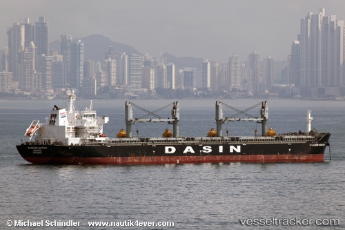
Vessel profile: PEACE BAND is a Bulk Carrier with dimensions m x m.
This page combines live AIS, route history, probable destination signals, nearby traffic, and port activity for practical vessel monitoring.
The current position of vessel PEACE BAND is 9.93973 lat / -61.61556 lng. Updated: 2026-05-21 01:58:32 UTCNearest reference points:
- Near POINT LISAS
- Near Carenage
- Near Caroni
Currently sailing under the flag of Marshall Islands ![]()
Details:
Live Vessel PEACE BAND Analytics (details, animations, etc.)
Recent AIS points (UTC):
2026-05-20 23:07:34 UTC · 9.93925, -61.61556 · SOG 0 kn · COG 102°2026-05-20 23:29:47 UTC · 9.93833, -61.61500 · SOG 0 kn · COG -1°
2026-05-21 01:58:32 UTC · 9.93973, -61.61556 · SOG 0.1 kn · COG 101°
2026-05-21 01:58:32 UTC · 9.93973, -61.61556 · SOG 0.1 kn · COG 101°