 AMIR1
AMIR1
Current Status
Where is the vessel?
AMIR1 is currently in Near RUMELI FENERI, based on AIS data received about 15h ago.
Latest AIS update:
Current position: 41.27410° N, 29.00745° E (Near RUMELI FENERI)
Average speed (last 7 days): Loading…
Average speed (last 30 days): Loading…
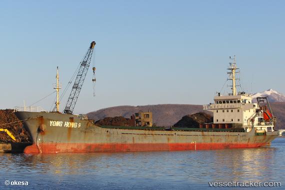
Vessel profile: AMIR1 is a General Cargo with dimensions m x m.
This page combines live AIS, route history, probable destination signals, nearby traffic, and port activity for practical vessel monitoring.
The current position of vessel AMIR1 is 41.27410 lat / 29.00745 lng. Updated: 2026-05-19 23:39:37 UTCNearest reference points:
- Near RUMELI FENERI
- Near Istinye/Istambul
- Near Arnavutköy/Istambul
Currently sailing under the flag of Tanzania ![]()
Details:
Live Vessel AMIR1 Analytics (details, animations, etc.)
Recent AIS points (UTC):
2026-05-19 20:04:07 UTC · 41.27503, 29.00657 · SOG 0 kn · COG -1°2026-05-19 21:54:22 UTC · 41.27450, 29.00687 · SOG 0 kn · COG -1°
2026-05-19 22:29:35 UTC · 41.27333, 29.00667 · SOG 0 kn · COG -1°
2026-05-19 23:39:37 UTC · 41.27410, 29.00745 · SOG 0 kn · COG -1°