 vesseltracker.com
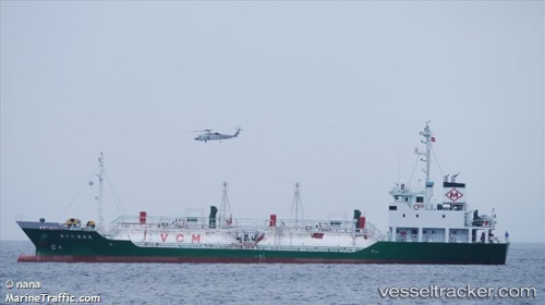
Dai18kasugamaru
Current StatusWhere is the vessel?
Dai18kasugamaru is currently in 22 nm S of Aki, Kochi, based on AIS data received about 14h ago.
Latest AIS update:
Current position: 33.14438° N, 133.80911° E (22 nm S of Aki, Kochi)
Average speed (last 7 days): Loading…
Average speed (last 30 days): Loading…
Vessel profile: Dai18kasugamaru is a Lpg Tanker with dimensions 12m x 68m.
This page combines live AIS, route history, probable destination signals, nearby traffic, and port activity for practical vessel monitoring.
The current position of vessel Dai18kasugamaru is 33.14438 lat / 133.80911 lng. Updated: 2026-05-18 09:33:58 UTCNearest reference points:
- Near Kochi
- Near NYUGAWA
- Near Sakaide
Details:
Live Vessel Dai18kasugamaru Analytics (details, animations, etc.)
Recent AIS points (UTC):
2026-05-18 05:47:12 UTC · 33.61155, 134.56706 · SOG 13.3 kn · COG 221°2026-05-18 06:15:53 UTC · 33.52846, 134.47983 · SOG 13.6 kn · COG 221°
2026-05-18 07:48:27 UTC · 33.25092, 134.22990 · SOG 13 kn · COG 215°
2026-05-18 09:33:58 UTC · 33.14438, 133.80911 · SOG 13.5 kn · COG 240°