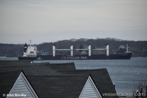
 AGIA IRINI
Current Status
Where is the vessel?
AGIA IRINI is currently in Near TAICHUNG, based on AIS data received about 14h ago.
Latest AIS update:
Current position: 24.26307° N, 120.50473° E (Near TAICHUNG)
Average speed (last 7 days): Loading…
Average speed (last 30 days): Loading…
Vessel profile: AGIA IRINI is a Bulk Carrier with dimensions m x m.
This page combines live AIS, route history, probable destination signals, nearby traffic, and port activity for practical vessel monitoring.
The current position of vessel AGIA IRINI is 24.26307 lat / 120.50473 lng. Updated: 2026-05-19 21:23:29 UTCNearest reference points:
- Near TAICHUNG
- Near Tai-tung Kang
- Near Miao-li
Currently sailing under the flag of Marshall Islands ![]()
Details:
Live Vessel AGIA IRINI Analytics (details, animations, etc.)
Recent AIS points (UTC):
2026-05-19 17:35:29 UTC · 24.26315, 120.50475 · SOG 0 kn · COG 22°2026-05-19 19:35:29 UTC · 24.26311, 120.50472 · SOG 0 kn · COG 21°
2026-05-19 20:02:30 UTC · 24.26310, 120.50475 · SOG 0 kn · COG 21°
2026-05-19 21:23:29 UTC · 24.26307, 120.50473 · SOG 0 kn · COG 21°