 GARNET
Current Status
Where is the vessel?
GARNET is currently in 13 nm NW of Tanjungbalai, based on AIS data received about 15h ago.
Latest AIS update:
Current position: 1.11308° N, 103.24740° E (13 nm NW of Tanjungbalai)
Average speed (last 7 days): Loading…
Average speed (last 30 days): Loading…
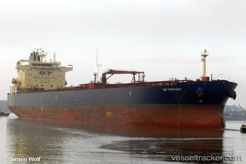
Vessel profile: GARNET is a Crude Oil Tanker with dimensions m x m.
This page combines live AIS, route history, probable destination signals, nearby traffic, and port activity for practical vessel monitoring.
The current position of vessel GARNET is 1.11308 lat / 103.24740 lng. Updated: 2026-05-20 19:13:23 UTCNearest reference points:
- Near Tanjungbalai
- 19 nm W of Tanjong Bin
- 17 nm NE of Perawang
Currently sailing under the flag of Oman ![]()
Details:
Live Vessel GARNET Analytics (details, animations, etc.)
Recent AIS points (UTC):
2026-05-20 15:57:43 UTC · 1.16467, 103.33832 · SOG 0 kn · COG 29°2026-05-20 16:30:44 UTC · 1.16447, 103.33874 · SOG 0.1 kn · COG 16°
2026-05-20 17:36:41 UTC · 1.16450, 103.33968 · SOG 0 kn · COG 346°
2026-05-20 19:13:23 UTC · 1.11308, 103.24740 · SOG 6.3 kn · COG 181°