 TORM EVA
Current Status
Where is the vessel?
TORM EVA is currently in 15 nm SW of Banting, based on AIS data received about 14h ago.
Latest AIS update:
Current position: 2.61894° N, 101.32516° E (15 nm SW of Banting)
Average speed (last 7 days): Loading…
Average speed (last 30 days): Loading…
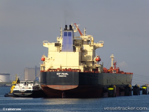
Vessel profile: TORM EVA is a Crude Oil Tanker with dimensions m x m.
This page combines live AIS, route history, probable destination signals, nearby traffic, and port activity for practical vessel monitoring.
The current position of vessel TORM EVA is 2.61894 lat / 101.32516 lng. Updated: 2026-05-20 16:33:12 UTCNearest reference points:
- 14 nm SW of Banting
- 15 nm SW of Banting
- Near Carey Island Estate
Currently sailing under the flag of Denmark ![]()
Details:
Live Vessel TORM EVA Analytics (details, animations, etc.)
Recent AIS points (UTC):
2026-05-20 13:10:41 UTC · 3.01354, 100.76244 · SOG 13 kn · COG 126°2026-05-20 14:20:51 UTC · 2.85583, 100.94672 · SOG 12.6 kn · COG 137°
2026-05-20 15:55:22 UTC · 2.68439, 101.21762 · SOG 12.1 kn · COG 121°
2026-05-20 16:33:12 UTC · 2.61894, 101.32516 · SOG 11.8 kn · COG 117°