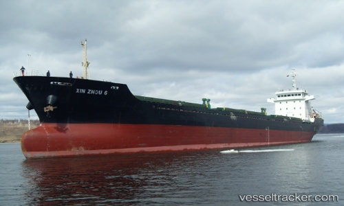
 LAN NING 17
Current Status
Where is the vessel?
LAN NING 17 is currently in Near QINZHOU, based on AIS data received about 14h ago.
Latest AIS update:
Current position: 21.69322° N, 108.63487° E (Near QINZHOU)
Average speed (last 7 days): Loading…
Average speed (last 30 days): Loading…
Vessel profile: LAN NING 17 is a Bulk Carrier with dimensions m x m.
This page combines live AIS, route history, probable destination signals, nearby traffic, and port activity for practical vessel monitoring.
The current position of vessel LAN NING 17 is 21.69322 lat / 108.63487 lng. Updated: 2026-05-22 23:56:15 UTCNearest reference points:
- Near QINZHOU
- Near Qisha Pt
- Near Fangcheng
Currently sailing under the flag of Panama ![]()
Details:
Live Vessel LAN NING 17 Analytics (details, animations, etc.)
Recent AIS points (UTC):
2026-05-22 19:26:12 UTC · 21.69323, 108.63489 · SOG 0 kn · COG 1°2026-05-22 21:17:12 UTC · 21.69326, 108.63487 · SOG 0 kn · COG 3°
2026-05-22 22:02:14 UTC · 21.69323, 108.63487 · SOG 0 kn · COG 4°
2026-05-22 23:56:15 UTC · 21.69322, 108.63487 · SOG 0 kn · COG 2°