 DELTA MARINER
Current Status
Where is the vessel?
DELTA MARINER is currently in 12 nm E of Moho Bilondo, based on AIS data received about 15h ago.
Latest AIS update:
Current position: 5.98500° S, 10.43333° E (12 nm E of Moho Bilondo)
Average speed (last 7 days): Loading…
Average speed (last 30 days): Loading…
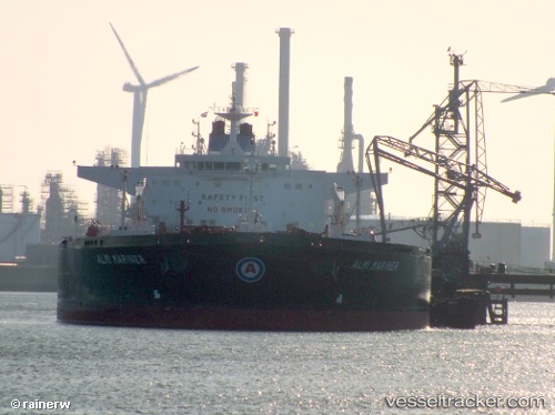
Vessel profile: DELTA MARINER is a Crude Oil Tanker with dimensions 274m x 48m.
This page combines live AIS, route history, probable destination signals, nearby traffic, and port activity for practical vessel monitoring.
The current position of vessel DELTA MARINER is -5.98500 lat / 10.43333 lng. Updated: 2026-06-12 16:12:48 UTCNearest reference points:
- Near N'Kossa Terminal
- 11 nm W of Cabinda
- Near Futila Terminal
Currently sailing under the flag of Liberia ![]()
DELTA MARINER built in 2013 year
Deadweight:
157638 tDetails:
Live Vessel DELTA MARINER Analytics (details, animations, etc.)
Recent AIS points (UTC):
2026-06-12 13:29:52 UTC · -6.11167, 10.19167 · SOG 1 kn · COG -1°2026-06-12 13:50:32 UTC · -6.10551, 10.19139 · SOG 1.6 kn · COG 284°
2026-06-12 15:48:20 UTC · -6.00700, 10.36758 · SOG 10.2 kn · COG 78°
2026-06-12 16:12:48 UTC · -5.98500, 10.43333 · SOG 10 kn · COG -1°