 RAIATEA
Current Status
Where is the vessel?
RAIATEA is currently in 43 nm SE of Albany, based on AIS data received about 16h ago.
Latest AIS update:
Current position: 35.48302° S, 118.59798° E (43 nm SE of Albany)
Average speed (last 7 days): Loading…
Average speed (last 30 days): Loading…
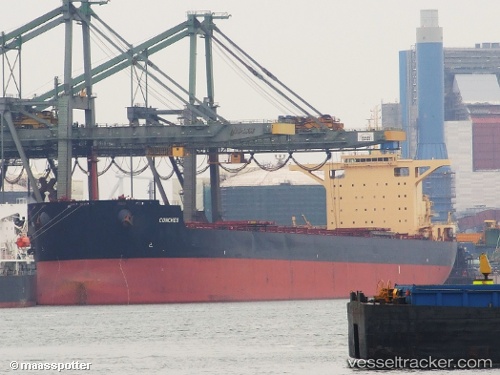
Vessel profile: RAIATEA is a Bulk Carrier with dimensions 45m x 292m.
This page combines live AIS, route history, probable destination signals, nearby traffic, and port activity for practical vessel monitoring.
The current position of vessel RAIATEA is -35.48302 lat / 118.59798 lng. Updated: 2026-06-12 13:52:37 UTCCurrently sailing under the flag of Liberia ![]()
RAIATEA built in 2011 year
Deadweight:
179078 tDetails:
Live Vessel RAIATEA Analytics (details, animations, etc.)
Recent AIS points (UTC):
2026-06-12 10:08:40 UTC · -35.58830, 117.61126 · SOG 12.3 kn · COG 93°2026-06-12 12:22:38 UTC · -35.53728, 118.21728 · SOG 13.1 kn · COG 78°
2026-06-12 13:41:47 UTC · -35.48938, 118.55477 · SOG 12 kn · COG 83°
2026-06-12 13:52:37 UTC · -35.48302, 118.59798 · SOG 11.8 kn · COG 80°