 PRETTY AYA
Current Status
Where is the vessel?
PRETTY AYA is currently in Near IVANA C, based on AIS data received about 14h ago.
Latest AIS update:
Current position: 44.46066° N, 13.16224° E (Near IVANA C)
Average speed (last 7 days): Loading…
Average speed (last 30 days): Loading…
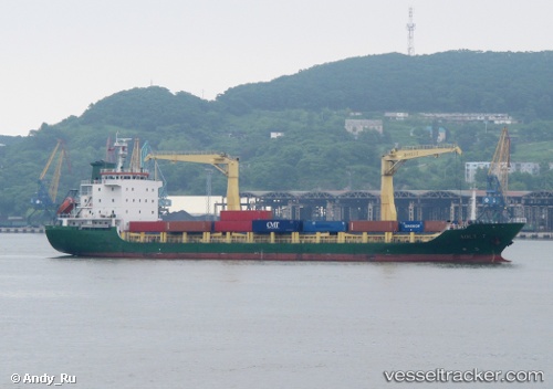
Vessel profile: PRETTY AYA is a Cargo with dimensions m x m.
This page combines live AIS, route history, probable destination signals, nearby traffic, and port activity for practical vessel monitoring.
The current position of vessel PRETTY AYA is 44.46066 lat / 13.16224 lng. Updated: 2026-05-24 13:56:44 UTCNearest reference points:
- Near IVANA C
- Near Fano
- Near Gabicce Mare
Currently sailing under the flag of Barbados ![]()
Details:
Live Vessel PRETTY AYA Analytics (details, animations, etc.)
Recent AIS points (UTC):
2026-05-24 09:26:03 UTC · 43.98824, 13.81099 · SOG 9 kn · COG 311°2026-05-24 10:38:04 UTC · 44.09947, 13.60867 · SOG 9.1 kn · COG 309°
2026-05-24 11:46:04 UTC · 44.20383, 13.41515 · SOG 9.3 kn · COG 310°
2026-05-24 13:56:44 UTC · 44.46066, 13.16224 · SOG 8.9 kn · COG 344°