 S BOND
Current Status
Where is the vessel?
S BOND is currently in 31 nm NW of Bnei Darom, based on AIS data received about 14h ago.
Latest AIS update:
Current position: 32.25833° N, 31.38500° E (31 nm NW of Bnei Darom)
Average speed (last 7 days): Loading…
Average speed (last 30 days): Loading…
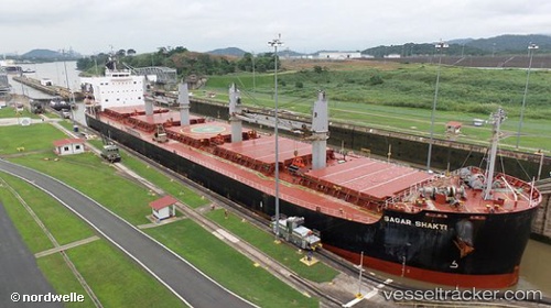
Vessel profile: S BOND is a Bulk Carrier with dimensions m x m.
This page combines live AIS, route history, probable destination signals, nearby traffic, and port activity for practical vessel monitoring.
The current position of vessel S BOND is 32.25833 lat / 31.38500 lng. Updated: 2026-05-21 21:18:17 UTCNearest reference points:
- Near Damietta
- 21 nm N of Port Said
- 15 nm N of Port Said
Currently sailing under the flag of Liberia ![]()
Details:
Live Vessel S BOND Analytics (details, animations, etc.)
Recent AIS points (UTC):
2026-05-21 17:46:08 UTC · 31.83025, 31.88548 · SOG 9.7 kn · COG 302°2026-05-21 19:12:38 UTC · 31.98512, 31.67196 · SOG 10 kn · COG 319°
2026-05-21 19:32:18 UTC · 32.02860, 31.62816 · SOG 10.5 kn · COG 318°
2026-05-21 21:18:17 UTC · 32.25833, 31.38500 · SOG 10 kn · COG -1°