 SEA BIRD
Current Status
Where is the vessel?
SEA BIRD is currently in 128 nm W of Kings Bromley, based on AIS data received about 15h ago.
Latest AIS update:
Current position: 53.19967° N, 152.44243° W (128 nm W of Kings Bromley)
Average speed (last 7 days): Loading…
Average speed (last 30 days): Loading…
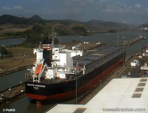
Vessel profile: SEA BIRD is a Bulk Carrier with dimensions 229m x 32m.
This page combines live AIS, route history, probable destination signals, nearby traffic, and port activity for practical vessel monitoring.
The current position of vessel SEA BIRD is 53.19967 lat / -152.44243 lng. Updated: 2026-06-15 01:46:54 UTCCurrently sailing under the flag of Marshall Islands ![]()
SEA BIRD built in 2011 year
Deadweight:
82177 tDetails:
Live Vessel SEA BIRD Analytics (details, animations, etc.)
Recent AIS points (UTC):
2026-06-14 23:15:07 UTC · 53.10236, -151.69913 · SOG 10.5 kn · COG 288°2026-06-15 00:08:35 UTC · 53.14103, -151.95474 · SOG 10.7 kn · COG 281°
2026-06-15 01:24:33 UTC · 53.18366, -152.33147 · SOG 11 kn · COG 282°
2026-06-15 01:46:54 UTC · 53.19967, -152.44243 · SOG 11 kn · COG 283°