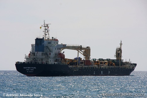
 TITAN PEARL
Current Status
Where is the vessel?
TITAN PEARL is currently in Near Jeddah, based on AIS data received about 14h ago.
Latest AIS update:
Current position: 21.41341° N, 39.07732° E (Near Jeddah)
Average speed (last 7 days): Loading…
Average speed (last 30 days): Loading…
Vessel profile: TITAN PEARL is a General Cargo with dimensions m x m.
This page combines live AIS, route history, probable destination signals, nearby traffic, and port activity for practical vessel monitoring.
The current position of vessel TITAN PEARL is 21.41341 lat / 39.07732 lng. Updated: 2026-06-21 08:31:11 UTCNearest reference points:
- Near Jeddah
- 10 nm SW of Jeddah
- Near Tusdeer Free Zone
Currently sailing under the flag of Barbados ![]()
Details:
Live Vessel TITAN PEARL Analytics (details, animations, etc.)
Recent AIS points (UTC):
2026-06-21 04:40:22 UTC · 21.42289, 39.07222 · SOG 0.2 kn · COG 330°2026-06-21 05:42:37 UTC · 21.41936, 39.07214 · SOG 4.6 kn · COG 151°
2026-06-21 07:28:34 UTC · 21.41348, 39.07722 · SOG 0.2 kn · COG -1°
2026-06-21 08:31:11 UTC · 21.41341, 39.07732 · SOG 0.2 kn · COG 320°