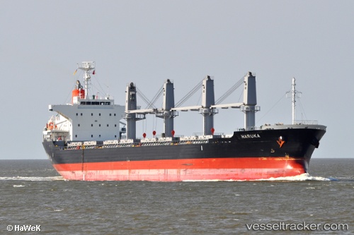
 HARUKA
Current Status
Where is the vessel?
HARUKA is currently in 60 nm SW of NASSIT, based on AIS data received about 16h ago.
Latest AIS update:
Current position: 7.81457° N, 13.97012° W (60 nm SW of NASSIT)
Average speed (last 7 days): Loading…
Average speed (last 30 days): Loading…
Vessel profile: HARUKA is a Bulk Carrier with dimensions m x m.
This page combines live AIS, route history, probable destination signals, nearby traffic, and port activity for practical vessel monitoring.
The current position of vessel HARUKA is 7.81457 lat / -13.97012 lng. Updated: 2026-05-19 19:50:03 UTCNearest reference points:
- Near NASSIT
- Near Kissy
- 28 nm S of Conakry
Currently sailing under the flag of Portugal ![]()
Details:
Live Vessel HARUKA Analytics (details, animations, etc.)
Recent AIS points (UTC):
2026-05-19 17:08:52 UTC · 8.28913, -13.94394 · SOG 12.2 kn · COG 193°2026-05-19 18:08:23 UTC · 8.09928, -13.98472 · SOG 11.4 kn · COG 195°
2026-05-19 19:48:15 UTC · 7.81752, -13.97543 · SOG 11.8 kn · COG 120°
2026-05-19 19:50:03 UTC · 7.81457, -13.97012 · SOG 11.8 kn · COG 119°