 HAATO
HAATO
Current Status
Where is the vessel?
HAATO is currently in Near Alexandria, based on AIS data received about 15h ago.
Latest AIS update:
Current position: 31.16922° N, 29.85507° E (Near Alexandria)
Average speed (last 7 days): Loading…
Average speed (last 30 days): Loading…
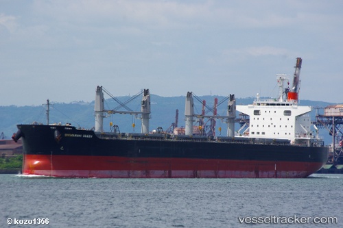
Vessel profile: HAATO is a Bulk Carrier with dimensions m x m.
This page combines live AIS, route history, probable destination signals, nearby traffic, and port activity for practical vessel monitoring.
The current position of vessel HAATO is 31.16922 lat / 29.85507 lng. Updated: 2026-05-19 22:30:09 UTCNearest reference points:
- Near Alexandria
- Near EL DEKHEILA
- 13 nm W of EL DEKHEILA
Currently sailing under the flag of Marshall Islands ![]()
Details:
Live Vessel HAATO Analytics (details, animations, etc.)
Recent AIS points (UTC):
2026-05-19 19:24:08 UTC · 31.16920, 29.85505 · SOG 0 kn · COG 22°2026-05-19 20:06:08 UTC · 31.16923, 29.85505 · SOG 0 kn · COG 22°
2026-05-19 21:57:08 UTC · 31.16923, 29.85503 · SOG 0.1 kn · COG 22°
2026-05-19 22:30:09 UTC · 31.16922, 29.85507 · SOG 0 kn · COG 22°