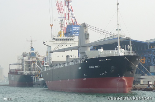
 White Mary
Current Status
Where is the vessel?
White Mary is currently in Near TAEAN-GUN, based on AIS data received about 14h ago.
Latest AIS update:
Current position: 36.95959° N, 126.13884° E (Near TAEAN-GUN)
Average speed (last 7 days): Loading…
Average speed (last 30 days): Loading…
Vessel profile: White Mary is a General Cargo Ship with dimensions 110m x 110m.
This page combines live AIS, route history, probable destination signals, nearby traffic, and port activity for practical vessel monitoring.
The current position of vessel White Mary is 36.95959 lat / 126.13884 lng. Updated: 2026-05-20 13:25:50 UTCNearest reference points:
- Near DAESAN
- Near Taean-gun
- 10 nm N of DAESAN
Currently sailing under the flag of Panama ![]()
White Mary built in 2010 year
Deadweight:
8955 tDetails:
Live Vessel White Mary Analytics (details, animations, etc.)
Recent AIS points (UTC):
2026-05-20 10:03:43 UTC · 36.36167, 125.88500 · SOG 13 kn · COG -1°2026-05-20 10:03:43 UTC · 36.36167, 125.88500 · SOG 13 kn · COG -1°
2026-05-20 11:24:44 UTC · 36.63833, 125.96333 · SOG 12 kn · COG -1°
2026-05-20 13:25:50 UTC · 36.95959, 126.13884 · SOG 9.6 kn · COG 34°