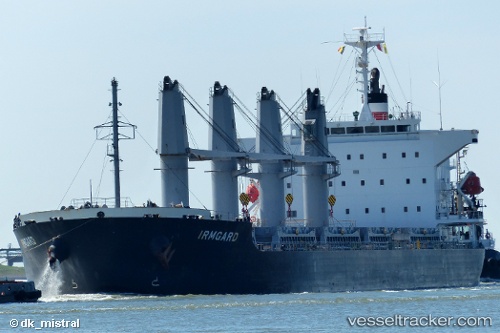
 IRMGARD
Current Status
Where is the vessel?
IRMGARD is currently in 78 nm W of Bubaque, based on AIS data received about 14h ago.
Latest AIS update:
Current position: 10.84670° N, 17.08580° W (78 nm W of Bubaque)
Average speed (last 7 days): Loading…
Average speed (last 30 days): Loading…
Vessel profile: IRMGARD is a Bulk Carrier with dimensions m x m.
This page combines live AIS, route history, probable destination signals, nearby traffic, and port activity for practical vessel monitoring.
The current position of vessel IRMGARD is 10.84670 lat / -17.08580 lng. Updated: 2026-06-13 08:02:27 UTCNearest reference points:
- 144 nm SW of Bubaque
- 48 nm W of Cap Skiring
- 97 nm SW of Port de Boké
Currently sailing under the flag of Liberia ![]()
Details:
Live Vessel IRMGARD Analytics (details, animations, etc.)
Recent AIS points (UTC):
2026-06-13 04:37:37 UTC · 11.48673, -17.33575 · SOG 12.2 kn · COG 158°2026-06-13 05:39:48 UTC · 11.29182, -17.24973 · SOG 12.4 kn · COG 158°
2026-06-13 07:23:57 UTC · 10.96568, -17.10727 · SOG 11.8 kn · COG 158°
2026-06-13 08:02:27 UTC · 10.84670, -17.08580 · SOG 11.4 kn · COG 181°