 BEAM
BEAM
Current Status
Where is the vessel?
BEAM is currently in 35 nm SE of ST FRANCIS, based on AIS data received about 15h ago.
Latest AIS update:
Current position: 34.56875° S, 25.37608° E (35 nm SE of ST FRANCIS)
Average speed (last 7 days): Loading…
Average speed (last 30 days): Loading…
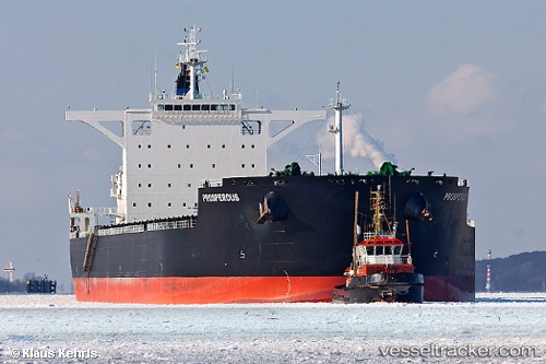
Vessel profile: BEAM is a Bulk Carrier with dimensions m x m.
This page combines live AIS, route history, probable destination signals, nearby traffic, and port activity for practical vessel monitoring.
The current position of vessel BEAM is -34.56875 lat / 25.37608 lng. Updated: 2026-05-19 20:10:14 UTCNearest reference points:
- 21 nm S of Mount Pleasant
- Near Deal Party
Currently sailing under the flag of Barbados ![]()
Details:
Live Vessel BEAM Analytics (details, animations, etc.)
Recent AIS points (UTC):
2026-05-19 16:46:53 UTC · -34.63723, 24.75981 · SOG 9.6 kn · COG 81°2026-05-19 17:28:04 UTC · -34.62071, 24.89115 · SOG 9.7 kn · COG 82°
2026-05-19 19:27:53 UTC · -34.58417, 25.25619 · SOG 8.8 kn · COG 81°
2026-05-19 20:10:14 UTC · -34.56875, 25.37608 · SOG 8.4 kn · COG 82°