 PATAGONIA
Current Status
Where is the vessel?
PATAGONIA is currently in 77 nm NW of Nouadhibou, based on AIS data received about 14h ago.
Latest AIS update:
Current position: 22.05922° N, 17.56104° W (77 nm NW of Nouadhibou)
Average speed (last 7 days): Loading…
Average speed (last 30 days): Loading…
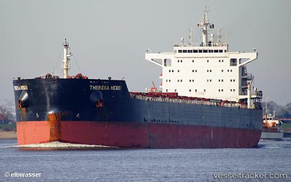
Vessel profile: PATAGONIA is a Bulk Carrier with dimensions m x m.
This page combines live AIS, route history, probable destination signals, nearby traffic, and port activity for practical vessel monitoring.
The current position of vessel PATAGONIA is 22.05922 lat / -17.56104 lng. Updated: 2026-05-20 01:53:15 UTCNearest reference points:
- 41 nm NW of Nouadhibou
- Near Nouadhibou
- Near DAKHLA
Currently sailing under the flag of Marshall Islands ![]()
Details:
Live Vessel PATAGONIA Analytics (details, animations, etc.)
Recent AIS points (UTC):
2026-05-19 23:08:35 UTC · 21.61727, -17.59030 · SOG 8.9 kn · COG 3°2026-05-20 00:11:34 UTC · 21.78081, -17.58048 · SOG 9.5 kn · COG 2°
2026-05-20 01:13:56 UTC · 21.95031, -17.57138 · SOG 10 kn · COG 4°
2026-05-20 01:53:15 UTC · 22.05922, -17.56104 · SOG 9.9 kn · COG 2°