Aquaexplorer
Current StatusWhere is the vessel?
Aquaexplorer is currently in 61 nm E of Gonubie, based on AIS data received about 14h ago.
Latest AIS update:
Current position: 33.15813° S, 29.19237° E (61 nm E of Gonubie)
Average speed (last 7 days): Loading…
Average speed (last 30 days): Loading…
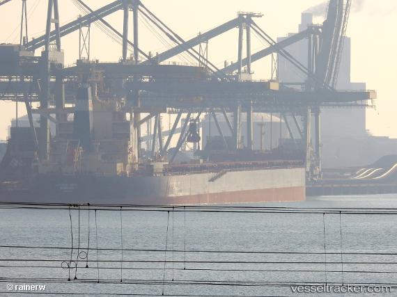
Vessel profile: Aquaexplorer is a Bulk Carrier with dimensions 45m x 292m.
This page combines live AIS, route history, probable destination signals, nearby traffic, and port activity for practical vessel monitoring.
The current position of vessel Aquaexplorer is -33.15813 lat / 29.19237 lng. Updated: 2026-05-20 16:11:22 UTCNearest reference points:
- 23 nm E of Port Saint John's
Details:
Live Vessel Aquaexplorer Analytics (details, animations, etc.)
Recent AIS points (UTC):
2026-05-20 13:02:44 UTC · -32.91118, 29.86901 · SOG 11.7 kn · COG 237°2026-05-20 13:48:23 UTC · -32.97034, 29.71437 · SOG 11.3 kn · COG 245°
2026-05-20 15:52:36 UTC · -33.13137, 29.26688 · SOG 12.9 kn · COG 246°
2026-05-20 16:11:22 UTC · -33.15813, 29.19237 · SOG 13 kn · COG 246°