Us Gov Vessel
Current StatusWhere is the vessel?
Us Gov Vessel is currently in 109 nm SE of NISHINOOMOTE, based on AIS data received about 43d ago.
Latest AIS update:
Current position: 29.71833° N, 132.73666° E (109 nm SE of NISHINOOMOTE)
Average speed (last 7 days): Loading…
Average speed (last 30 days): Loading…
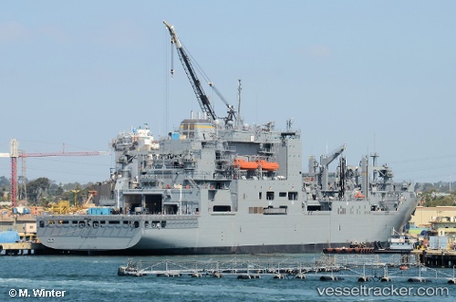
Vessel profile: Us Gov Vessel is a General Cargo Ship with dimensions 32m x 210m.
This page combines live AIS, route history, probable destination signals, nearby traffic, and port activity for practical vessel monitoring.
The current position of vessel Us Gov Vessel is 29.71833 lat / 132.73666 lng. Updated: 2026-04-08 05:58:33 UTCNearest reference points:
- 190 nm E of NISHINOOMOTE
- 77 nm S of Sukumowan
- 107 nm NE of Kitadaito Apt
Details:
Live Vessel Us Gov Vessel Analytics (details, animations, etc.)
Recent AIS points (UTC):
2026-04-08 05:58:33 UTC · 29.71833, 132.73666 · SOG 13 kn · COG -1°