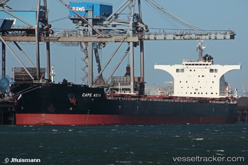
Cape Asia
Current StatusWhere is the vessel?
Cape Asia is currently in 13 nm N of Port Hedland, based on AIS data received about 14h ago.
Latest AIS update:
Current position: 20.08000° S, 118.51500° E (13 nm N of Port Hedland)
Average speed (last 7 days): Loading…
Average speed (last 30 days): Loading…
Vessel profile: Cape Asia is a Bulk Carrier with dimensions 45m x 292m.
This page combines live AIS, route history, probable destination signals, nearby traffic, and port activity for practical vessel monitoring.
The current position of vessel Cape Asia is -20.08000 lat / 118.51500 lng. Updated: 2026-05-21 04:16:51 UTCNearest reference points:
- 11 nm E of Port Walcot
- 116 nm NE of Mutineer
- 121 nm NE of Mutineer
Details:
Live Vessel Cape Asia Analytics (details, animations, etc.)
Recent AIS points (UTC):
2026-05-21 01:48:52 UTC · -20.08061, 118.51521 · SOG 0.1 kn · COG 56°2026-05-21 02:34:53 UTC · -20.08000, 118.51500 · SOG 0 kn · COG -1°
2026-05-21 03:57:52 UTC · -20.07979, 118.51506 · SOG 0 kn · COG 66°
2026-05-21 04:16:51 UTC · -20.08000, 118.51500 · SOG 0 kn · COG -1°