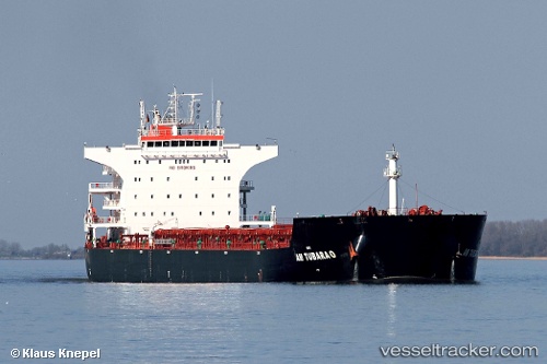
 Am Tubarao
Current Status
Where is the vessel?
Am Tubarao is currently in 75 nm SE of Guang'ao, based on AIS data received about 14h ago.
Latest AIS update:
Current position: 22.12364° N, 117.38058° E (75 nm SE of Guang'ao)
Average speed (last 7 days): Loading…
Average speed (last 30 days): Loading…
Vessel profile: Am Tubarao is a Bulk Carrier with dimensions 230m x 38m.
This page combines live AIS, route history, probable destination signals, nearby traffic, and port activity for practical vessel monitoring.
The current position of vessel Am Tubarao is 22.12364 lat / 117.38058 lng. Updated: 2026-05-25 16:47:43 UTCNearest reference points:
- 64 nm SE of Jiazi
- 53 nm S of Jiazi
- 24 nm SE of Jinghai
Currently sailing under the flag of Liberia ![]()
Am Tubarao built in 2011 year
Deadweight:
93225 tDetails:
Live Vessel Am Tubarao Analytics (details, animations, etc.)
Recent AIS points (UTC):
2026-05-25 13:13:35 UTC · 22.23833, 118.04667 · SOG 10 kn · COG -1°2026-05-25 14:10:39 UTC · 22.17833, 117.87333 · SOG 10 kn · COG -1°
2026-05-25 15:34:37 UTC · 22.14333, 117.60833 · SOG 10 kn · COG -1°
2026-05-25 16:47:43 UTC · 22.12364, 117.38058 · SOG 10.6 kn · COG -1°