 vesseltracker.com
 CLIPPER TYNE
Current Status
Where is the vessel?
CLIPPER TYNE is currently in 12 nm SW of Lushun New Pt, based on AIS data received less than 1h ago.
Latest AIS update:
Current position: 38.55906° N, 120.99516° E (12 nm SW of Lushun New Pt)
Average speed (last 7 days): Loading…
Average speed (last 30 days): Loading…
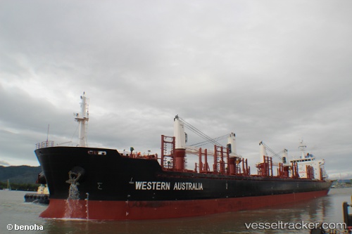
Vessel profile: CLIPPER TYNE is a Bulk Carrier with dimensions 27m x 175m.
This page combines live AIS, route history, probable destination signals, nearby traffic, and port activity for practical vessel monitoring.
The current position of vessel CLIPPER TYNE is 38.55906 lat / 120.99516 lng. Updated: 2026-04-28 01:34:48 UTCNearest reference points:
- 13 nm S of Lushun New Pt
- 18 nm W of Lushun New Pt
- 23 nm SW of Lushun New Pt
Currently sailing under the flag of Marshall Islands ![]()
CLIPPER TYNE built in 2012 year
Deadweight:
31905 tDetails:
Live Vessel CLIPPER TYNE Analytics (details, animations, etc.)
Recent AIS points (UTC):
2026-04-27 22:09:18 UTC · 38.28375, 121.59506 · SOG 9.1 kn · COG 299°2026-04-28 00:16:07 UTC · 38.44582, 121.23274 · SOG 9.5 kn · COG 304°
2026-04-28 01:27:18 UTC · 38.54650, 121.02089 · SOG 9.9 kn · COG 303°
2026-04-28 01:34:48 UTC · 38.55906, 120.99516 · SOG 10 kn · COG 302°