 SONGA DOLPHIN
Current Status
Where is the vessel?
SONGA DOLPHIN is currently in 126 nm NE of Dzilam de Bravo, based on AIS data received about 15h ago.
Latest AIS update:
Current position: 23.26354° N, 87.83492° W (126 nm NE of Dzilam de Bravo)
Average speed (last 7 days): Loading…
Average speed (last 30 days): Loading…
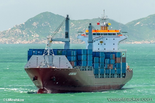
Vessel profile: SONGA DOLPHIN is a Container Ship with dimensions m x m.
This page combines live AIS, route history, probable destination signals, nearby traffic, and port activity for practical vessel monitoring.
The current position of vessel SONGA DOLPHIN is 23.26354 lat / -87.83492 lng. Updated: 2026-06-27 14:00:20 UTCNearest reference points:
- Near Puerto Juárez
- 19 nm N of Progreso
Currently sailing under the flag of Marshall Islands ![]()
Details:
Live Vessel SONGA DOLPHIN Analytics (details, animations, etc.)
Recent AIS points (UTC):
2026-06-27 10:50:22 UTC · 23.71167, -88.58667 · SOG 15 kn · COG -1°2026-06-27 11:23:21 UTC · 23.63667, -88.45500 · SOG 15 kn · COG -1°
2026-06-27 13:35:23 UTC · 23.32333, -87.93333 · SOG 15 kn · COG -1°
2026-06-27 14:00:20 UTC · 23.26354, -87.83492 · SOG 15.8 kn · COG -1°