 vesseltracker.com
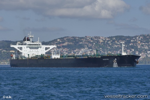
Agistri
Current StatusWhere is the vessel?
Agistri is currently in Near Novorossiysk, based on AIS data received less than 1h ago.
Latest AIS update:
Current position: 44.70966° N, 37.84620° E (Near Novorossiysk)
Average speed (last 7 days): Loading…
Average speed (last 30 days): Loading…
Vessel profile: Agistri is a Crude Oil Tanker with dimensions 48m x 274m.
This page combines live AIS, route history, probable destination signals, nearby traffic, and port activity for practical vessel monitoring.
The current position of vessel Agistri is 44.70966 lat / 37.84620 lng. Updated: 2026-05-14 15:53:25 UTCNearest reference points:
- Near Novorossiysk
- Near GELENDZHIK
- Near Cpc Terminal
Details:
Live Vessel Agistri Analytics (details, animations, etc.)
Recent AIS points (UTC):
2026-05-14 12:17:24 UTC · 44.70902, 37.84810 · SOG 7.4 kn · COG 199°2026-05-14 13:37:25 UTC · 44.50310, 37.60242 · SOG 10.2 kn · COG 199°
2026-05-14 15:53:25 UTC · 44.70966, 37.84620 · SOG 19 kn · COG 199°
2026-05-14 15:53:25 UTC · 44.70966, 37.84620 · SOG 19 kn · COG 199°