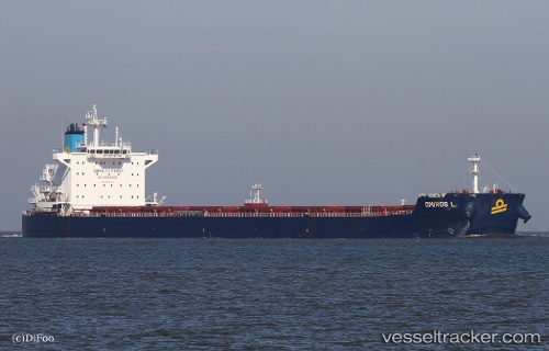
Omiros L
Current StatusWhere is the vessel?
Omiros L is currently in 12 nm S of DAUPHIN ISLAND, based on AIS data received about 14h ago.
Latest AIS update:
Current position: 30.05437° N, 88.08682° W (12 nm S of DAUPHIN ISLAND)
Average speed (last 7 days): Loading…
Average speed (last 30 days): Loading…
Vessel profile: Omiros L is a Bulk Carrier with dimensions 32m x 229m.
This page combines live AIS, route history, probable destination signals, nearby traffic, and port activity for practical vessel monitoring.
The current position of vessel Omiros L is 30.05437 lat / -88.08682 lng. Updated: 2026-07-15 11:54:01 UTCNearest reference points:
- Near BAYOU LA BATRE
- Near Point Clear
- Near Bon Secour
Details:
Live Vessel Omiros L Analytics (details, animations, etc.)
Recent AIS points (UTC):
2026-07-15 07:48:19 UTC · 30.05516, -88.08669 · SOG 0.1 kn · COG -1°2026-07-15 09:44:02 UTC · 30.05523, -88.08670 · SOG 0.1 kn · COG 256°
2026-07-15 10:11:01 UTC · 30.05499, -88.08670 · SOG 0.2 kn · COG 262°
2026-07-15 11:54:01 UTC · 30.05437, -88.08682 · SOG 0.1 kn · COG -1°