 BC LARA
Current Status
Where is the vessel?
BC LARA is currently in 335 nm S of Harper, based on AIS data received about 15h ago.
Latest AIS update:
Current position: 1.13252° S, 8.63271° W (335 nm S of Harper)
Average speed (last 7 days): Loading…
Average speed (last 30 days): Loading…
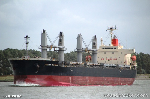
Vessel profile: BC LARA is a Bulk Carrier with dimensions m x m.
This page combines live AIS, route history, probable destination signals, nearby traffic, and port activity for practical vessel monitoring.
The current position of vessel BC LARA is -1.13252 lat / -8.63271 lng. Updated: 2026-06-12 14:13:26 UTCNearest reference points:
- Open sea, approx. 400 nm off the nearest listed port
- Open sea, approx. 401 nm off the nearest listed port
- Open sea, approx. 402 nm off the nearest listed port
Currently sailing under the flag of Barbados ![]()
Details:
Live Vessel BC LARA Analytics (details, animations, etc.)
Recent AIS points (UTC):
2026-06-12 11:07:24 UTC · -0.67111, -8.97925 · SOG 10.9 kn · COG 139°2026-06-12 12:29:19 UTC · -0.87246, -8.82721 · SOG 11.2 kn · COG 139°
2026-06-12 13:18:08 UTC · -0.99486, -8.73699 · SOG 11.1 kn · COG 139°
2026-06-12 14:13:26 UTC · -1.13252, -8.63271 · SOG 11.2 kn · COG 140°