 CHARBEL 1
Current Status
Where is the vessel?
CHARBEL 1 is currently in 115 nm E of Kralendijk, based on AIS data received about 15h ago.
Latest AIS update:
Current position: 12.60202° N, 66.36614° W (115 nm E of Kralendijk)
Average speed (last 7 days): Loading…
Average speed (last 30 days): Loading…
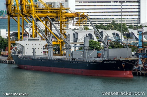
Vessel profile: CHARBEL 1 is a Bulk Carrier with dimensions m x m.
This page combines live AIS, route history, probable destination signals, nearby traffic, and port activity for practical vessel monitoring.
The current position of vessel CHARBEL 1 is 12.60202 lat / -66.36614 lng. Updated: 2026-05-20 19:35:53 UTCNearest reference points:
- 15 nm SW of Punta de Piedras
- 148 nm N of Dorp Rincón
- Near Puerto Sucre
Currently sailing under the flag of Barbados ![]()
Details:
Live Vessel CHARBEL 1 Analytics (details, animations, etc.)
Recent AIS points (UTC):
2026-05-20 15:45:17 UTC · 12.46099, -65.54649 · SOG 12.7 kn · COG 280°2026-05-20 16:27:34 UTC · 12.48635, -65.69663 · SOG 12.7 kn · COG 280°
2026-05-20 17:49:13 UTC · 12.53678, -65.98771 · SOG 12.7 kn · COG 279°
2026-05-20 19:35:53 UTC · 12.60202, -66.36614 · SOG 12.5 kn · COG 279°