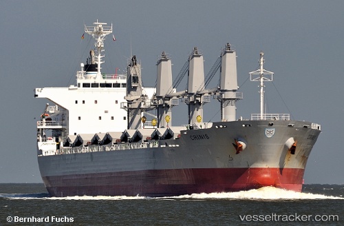
 CRINIS
Current Status
Where is the vessel?
CRINIS is currently in 12 nm W of Aveiro, based on AIS data received about 14h ago.
Latest AIS update:
Current position: 40.67192° N, 9.05170° W (12 nm W of Aveiro)
Average speed (last 7 days): Loading…
Average speed (last 30 days): Loading…
Vessel profile: CRINIS is a Bulk Carrier with dimensions m x m.
This page combines live AIS, route history, probable destination signals, nearby traffic, and port activity for practical vessel monitoring.
The current position of vessel CRINIS is 40.67192 lat / -9.05170 lng. Updated: 2026-05-21 01:51:30 UTCNearest reference points:
- Near Gafanha da Nazaré
- Near Figuera Da Foz
- Near Matosinhos
Currently sailing under the flag of Portugal ![]()
Details:
Live Vessel CRINIS Analytics (details, animations, etc.)
Recent AIS points (UTC):
2026-05-20 22:13:50 UTC · 40.61055, -9.03938 · SOG 1.6 kn · COG 220°2026-05-21 00:18:30 UTC · 40.63313, -9.06827 · SOG 10.2 kn · COG 349°
2026-05-21 01:10:19 UTC · 40.67164, -9.06945 · SOG 1.1 kn · COG 50°
2026-05-21 01:51:30 UTC · 40.67192, -9.05170 · SOG 1.3 kn · COG 59°