 FALBALA
Current Status
Where is the vessel?
FALBALA is currently in Open sea (no nearby ports in database), based on AIS data received about 16h ago.
Latest AIS update:
Current position: 18.06440° N, 132.21703° E (Open sea (no nearby ports in database))
Average speed (last 7 days): Loading…
Average speed (last 30 days): Loading…
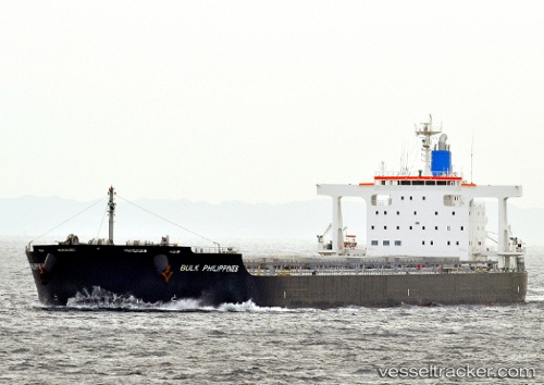
Vessel profile: FALBALA is a Bulk Carrier with dimensions m x m.
This page combines live AIS, route history, probable destination signals, nearby traffic, and port activity for practical vessel monitoring.
The current position of vessel FALBALA is 18.06440 lat / 132.21703 lng. Updated: 2026-05-20 20:04:12 UTCNearest reference points:
- Open sea (no nearby ports in database)
- Open sea, approx. 551 nm off the nearest listed port
- Open sea, approx. 550 nm off the nearest listed port
Currently sailing under the flag of Bahamas ![]()
Details:
Live Vessel FALBALA Analytics (details, animations, etc.)
Recent AIS points (UTC):
2026-05-20 16:15:22 UTC · 17.45337, 132.65024 · SOG 11.9 kn · COG 323°2026-05-20 18:00:54 UTC · 17.73812, 132.43681 · SOG 11.6 kn · COG 325°
2026-05-20 18:28:12 UTC · 17.81171, 132.38721 · SOG 11.2 kn · COG 325°
2026-05-20 20:04:12 UTC · 18.06440, 132.21703 · SOG 11.5 kn · COG 325°