 TAMARA
Current Status
Where is the vessel?
TAMARA is currently in Near Port Said, based on AIS data received about 14h ago.
Latest AIS update:
Current position: 31.25580° N, 32.35364° E (Near Port Said)
Average speed (last 7 days): Loading…
Average speed (last 30 days): Loading…
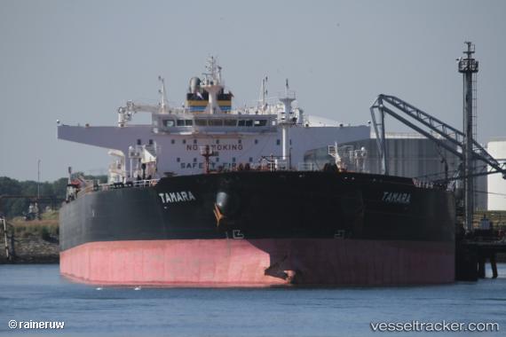
Vessel profile: TAMARA is a Crude Oil Tanker with dimensions 275m x 48m.
This page combines live AIS, route history, probable destination signals, nearby traffic, and port activity for practical vessel monitoring.
The current position of vessel TAMARA is 31.25580 lat / 32.35364 lng. Updated: 2026-05-21 05:21:53 UTCNearest reference points:
- Near Port Said East
- Near Port Said
- 14 nm N of Port Said
Currently sailing under the flag of Liberia ![]()
TAMARA built in 2015 year
Deadweight:
157016 tDetails:
Live Vessel TAMARA Analytics (details, animations, etc.)
Recent AIS points (UTC):
2026-05-21 01:57:44 UTC · 31.47487, 32.32581 · SOG 0.2 kn · COG 290°2026-05-21 03:53:35 UTC · 31.46929, 32.38088 · SOG 10.5 kn · COG 147°
2026-05-21 04:36:34 UTC · 31.34728, 32.38103 · SOG 10.6 kn · COG 197°
2026-05-21 05:21:53 UTC · 31.25580, 32.35364 · SOG 5.6 kn · COG 194°