 NAVA ULYSSES
Current Status
Where is the vessel?
NAVA ULYSSES is currently in 378 nm NE of Ascension, based on AIS data received about 14h ago.
Latest AIS update:
Current position: 3.55667° S, 9.81333° W (378 nm NE of Ascension)
Average speed (last 7 days): Loading…
Average speed (last 30 days): Loading…
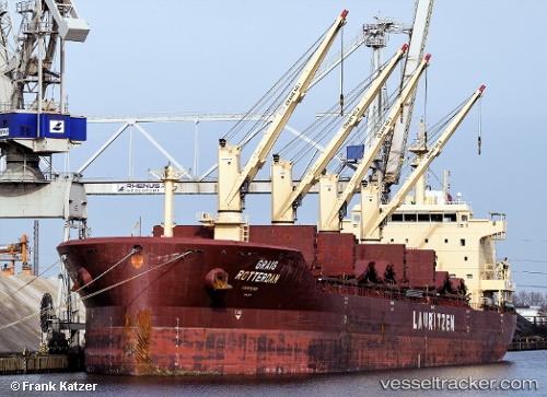
Vessel profile: NAVA ULYSSES is a Bulk Carrier with dimensions 30m x 180m.
This page combines live AIS, route history, probable destination signals, nearby traffic, and port activity for practical vessel monitoring.
The current position of vessel NAVA ULYSSES is -3.55667 lat / -9.81333 lng. Updated: 2026-05-23 22:16:49 UTCNearest reference points:
- Open sea, approx. 401 nm off the nearest listed port
- Open sea, approx. 402 nm off the nearest listed port
- Open sea, approx. 403 nm off the nearest listed port
Currently sailing under the flag of Marshall Islands ![]()
NAVA ULYSSES built in 2012 year
Deadweight:
34898 tDetails:
Live Vessel NAVA ULYSSES Analytics (details, animations, etc.)
Recent AIS points (UTC):
2026-05-23 19:19:49 UTC · -3.14333, -9.35667 · SOG 12 kn · COG -1°2026-05-23 20:00:21 UTC · -3.23913, -9.46148 · SOG 12.6 kn · COG 224°
2026-05-23 22:11:41 UTC · -3.54528, -9.80028 · SOG 12.6 kn · COG 223°
2026-05-23 22:16:49 UTC · -3.55667, -9.81333 · SOG 12 kn · COG -1°