 CHE
CHE
Current Status
Where is the vessel?
CHE is currently in Near Denarau, based on AIS data received about 14h ago.
Latest AIS update:
Current position: 17.75541° S, 177.38145° E (Near Denarau)
Average speed (last 7 days): Loading…
Average speed (last 30 days): Loading…
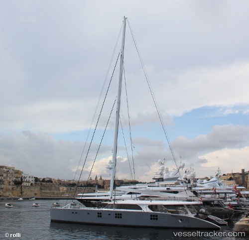
Vessel profile: CHE is a Yacht with dimensions m x m.
This page combines live AIS, route history, probable destination signals, nearby traffic, and port activity for practical vessel monitoring.
The current position of vessel CHE is -17.75541 lat / 177.38145 lng. Updated: 2026-05-20 19:23:51 UTCNearest reference points:
- Near Denarau
- Near DENARAU
- Near Suva
Currently sailing under the flag of Marshall Islands ![]()
Details:
Live Vessel CHE Analytics (details, animations, etc.)
Recent AIS points (UTC):
2026-05-20 15:37:06 UTC · -17.75500, 177.38167 · SOG 0 kn · COG -1°2026-05-20 16:01:09 UTC · -17.75500, 177.38167 · SOG 0 kn · COG -1°
2026-05-20 18:05:50 UTC · -17.75537, 177.38148 · SOG 0 kn · COG 143°
2026-05-20 19:23:51 UTC · -17.75541, 177.38145 · SOG 0 kn · COG 132°