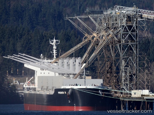
 PRONOI R
Current Status
Where is the vessel?
PRONOI R is currently in 27 nm S of Chittagong, based on AIS data received about 15h ago.
Latest AIS update:
Current position: 21.85667° N, 91.79167° E (27 nm S of Chittagong)
Average speed (last 7 days): Loading…
Average speed (last 30 days): Loading…
Vessel profile: PRONOI R is a Bulk Carrier with dimensions m x m.
This page combines live AIS, route history, probable destination signals, nearby traffic, and port activity for practical vessel monitoring.
The current position of vessel PRONOI R is 21.85667 lat / 91.79167 lng. Updated: 2026-05-25 23:57:47 UTCNearest reference points:
- 23 nm NW of Cox's Bazar
- Near Chittagong
- 12 nm NW of Chattogram
Currently sailing under the flag of Marshall Islands ![]()
Details:
Live Vessel PRONOI R Analytics (details, animations, etc.)
Recent AIS points (UTC):
2026-05-25 19:48:47 UTC · 21.85167, 91.79167 · SOG 0 kn · COG -1°2026-05-25 21:36:47 UTC · 21.85167, 91.79167 · SOG 0 kn · COG -1°
2026-05-25 22:05:59 UTC · 21.85506, 91.79032 · SOG 0.8 kn · COG -1°
2026-05-25 23:57:47 UTC · 21.85667, 91.79167 · SOG 0 kn · COG -1°