 vesseltracker.com
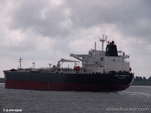
 LADY HENRIETTA
Current Status
Where is the vessel?
LADY HENRIETTA is currently in 165 nm NW of Santa Lucia, based on AIS data received about 1h ago.
Latest AIS update:
Current position: 24.60167° N, 86.13667° W (165 nm NW of Santa Lucia)
Average speed (last 7 days): Loading…
Average speed (last 30 days): Loading…
Vessel profile: LADY HENRIETTA is a Crude Oil Tanker with dimensions 44m x 250m.
This page combines live AIS, route history, probable destination signals, nearby traffic, and port activity for practical vessel monitoring.
The current position of vessel LADY HENRIETTA is 24.60167 lat / -86.13667 lng. Updated: 2026-05-14 14:11:42 UTCNearest reference points:
- 78 nm SW of Boca Grande
Currently sailing under the flag of Marshall Islands ![]()
LADY HENRIETTA built in 2012 year
Deadweight:
111815 tDetails:
Live Vessel LADY HENRIETTA Analytics (details, animations, etc.)
Recent AIS points (UTC):
2026-05-14 10:21:12 UTC · 24.71445, -86.17200 · SOG 1.8 kn · COG 100°2026-05-14 11:15:01 UTC · 24.68870, -86.16141 · SOG 1.7 kn · COG 86°
2026-05-14 13:34:50 UTC · 24.62049, -86.14027 · SOG 1.7 kn · COG 87°
2026-05-14 14:11:42 UTC · 24.60167, -86.13667 · SOG 1 kn · COG -1°