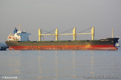
Prinsesa Maganda
Current StatusWhere is the vessel?
Prinsesa Maganda is currently in 26 nm SE of Vinh Cam Ranh, based on AIS data received about 14h ago.
Latest AIS update:
Current position: 11.70500° N, 109.55333° E (26 nm SE of Vinh Cam Ranh)
Average speed (last 7 days): Loading…
Average speed (last 30 days): Loading…
Vessel profile: Prinsesa Maganda is a Bulk Carrier with dimensions 27m x 169m.
This page combines live AIS, route history, probable destination signals, nearby traffic, and port activity for practical vessel monitoring.
The current position of vessel Prinsesa Maganda is 11.70500 lat / 109.55333 lng. Updated: 2026-07-11 07:29:13 UTCNearest reference points:
- Near Vinh Cam Ranh
- 29 nm NE of Vung Ro
- Near Rang Dong
Details:
Live Vessel Prinsesa Maganda Analytics (details, animations, etc.)
Recent AIS points (UTC):
2026-07-11 03:28:14 UTC · 12.24909, 109.74608 · SOG 9.1 kn · COG -1°2026-07-11 03:58:17 UTC · 12.17638, 109.72463 · SOG 9.1 kn · COG -1°
2026-07-11 06:14:43 UTC · 11.86424, 109.61424 · SOG 8.5 kn · COG 206°
2026-07-11 07:29:13 UTC · 11.70500, 109.55333 · SOG 7 kn · COG -1°