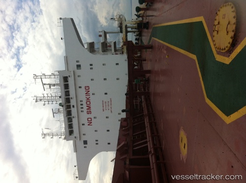
 MINOAN FALCON
Current Status
Where is the vessel?
MINOAN FALCON is currently in 16 nm N of Jazireh-Ye Sirri, based on AIS data received about 2d ago.
Latest AIS update:
Current position: 26.16257° N, 54.64025° E (16 nm N of Jazireh-Ye Sirri)
Average speed (last 7 days): Loading…
Average speed (last 30 days): Loading…
Vessel profile: MINOAN FALCON is a Bulk Carrier with dimensions 38m x 229m.
This page combines live AIS, route history, probable destination signals, nearby traffic, and port activity for practical vessel monitoring.
The current position of vessel MINOAN FALCON is 26.16257 lat / 54.64025 lng. Updated: 2026-05-18 18:41:34 UTCNearest reference points:
- Near LENGEH
- 11 nm SW of Fateh Terminal
- 17 nm NW of Free Port
Currently sailing under the flag of Liberia ![]()
MINOAN FALCON built in 2011 year
Deadweight:
92700 tDetails:
Live Vessel MINOAN FALCON Analytics (details, animations, etc.)
Recent AIS points (UTC):
2026-05-18 18:41:34 UTC · 26.16257, 54.64025 · SOG 11.8 kn · COG -1°2026-05-18 18:41:34 UTC · 26.16257, 54.64025 · SOG 11.8 kn · COG -1°
2026-05-18 18:41:34 UTC · 26.16257, 54.64025 · SOG 11.8 kn · COG -1°
2026-05-18 18:41:34 UTC · 26.16257, 54.64025 · SOG 11.8 kn · COG -1°