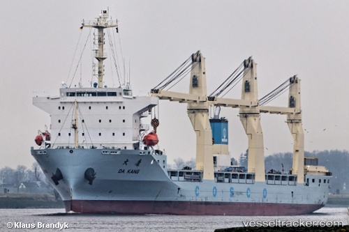
 DA KANG
Current Status
Where is the vessel?
DA KANG is currently in Near Taicang, based on AIS data received about 14h ago.
Latest AIS update:
Current position: 31.64115° N, 121.22619° E (Near Taicang)
Average speed (last 7 days): Loading…
Average speed (last 30 days): Loading…
Vessel profile: DA KANG is a General Cargo with dimensions m x m.
This page combines live AIS, route history, probable destination signals, nearby traffic, and port activity for practical vessel monitoring.
The current position of vessel DA KANG is 31.64115 lat / 121.22619 lng. Updated: 2026-07-02 16:16:15 UTCNearest reference points:
- Near Taicang
- Near Jiading
- Near Chongming
Currently sailing under the flag of Singapore ![]()
Details:
Live Vessel DA KANG Analytics (details, animations, etc.)
Recent AIS points (UTC):
2026-07-02 13:01:15 UTC · 31.64124, 121.22608 · SOG 0.1 kn · COG 313°2026-07-02 13:28:15 UTC · 31.64120, 121.22621 · SOG 0.1 kn · COG 313°
2026-07-02 16:07:15 UTC · 31.64119, 121.22620 · SOG 0.1 kn · COG 313°
2026-07-02 16:16:15 UTC · 31.64115, 121.22619 · SOG 0.1 kn · COG 313°