 NISEA
NISEA
Current Status
Where is the vessel?
NISEA is currently in 29 nm S of Anan, based on AIS data received about 14h ago.
Latest AIS update:
Current position: 33.40585° N, 134.89944° E (29 nm S of Anan)
Average speed (last 7 days): Loading…
Average speed (last 30 days): Loading…
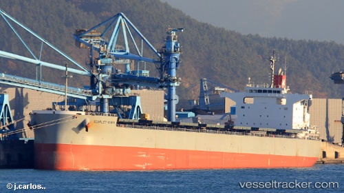
Vessel profile: NISEA is a Cargo with dimensions m x m.
This page combines live AIS, route history, probable destination signals, nearby traffic, and port activity for practical vessel monitoring.
The current position of vessel NISEA is 33.40585 lat / 134.89944 lng. Updated: 2026-05-20 10:03:26 UTCNearest reference points:
- 12 nm S of Gobo Wakayama
- 18 nm SE of Gobo Wakayama
- 40 nm SW of Minachi
Currently sailing under the flag of Liberia ![]()
Details:
Live Vessel NISEA Analytics (details, animations, etc.)
Recent AIS points (UTC):
2026-05-20 05:25:39 UTC · 33.35833, 134.80499 · SOG 1 kn · COG -1°2026-05-20 07:50:16 UTC · 33.38211, 134.85452 · SOG 1.2 kn · COG 77°
2026-05-20 07:51:58 UTC · 33.38241, 134.85512 · SOG 1.2 kn · COG 78°
2026-05-20 10:03:26 UTC · 33.40585, 134.89944 · SOG 4.1 kn · COG 209°