 EGOR LETOV
Current Status
Where is the vessel?
EGOR LETOV is currently in 34 nm NE of Lü-hua Shan, based on AIS data received about 15h ago.
Latest AIS update:
Current position: 31.22366° N, 123.06973° E (34 nm NE of Lü-hua Shan)
Average speed (last 7 days): Loading…
Average speed (last 30 days): Loading…
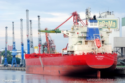
Vessel profile: EGOR LETOV is a Bulk Carrier with dimensions 225m x 32.25m.
This page combines live AIS, route history, probable destination signals, nearby traffic, and port activity for practical vessel monitoring.
The current position of vessel EGOR LETOV is 31.22366 lat / 123.06973 lng. Updated: 2026-07-15 11:27:38 UTCNearest reference points:
- 21 nm NE of Lü-hua Shan
- 19 nm NE of Lü-hua Shan
- 14 nm N of Lü-hua Shan
Currently sailing under the flag of Liberia ![]()
EGOR LETOV built in 2012 year
Deadweight:
74518 tDetails:
Live Vessel EGOR LETOV Analytics (details, animations, etc.)
Recent AIS points (UTC):
2026-07-15 07:30:37 UTC · 31.22406, 123.07321 · SOG 1.2 kn · COG 308°2026-07-15 09:33:21 UTC · 31.22333, 123.07167 · SOG 0 kn · COG -1°
2026-07-15 10:51:33 UTC · 31.22344, 123.07090 · SOG 0.1 kn · COG 6°
2026-07-15 11:27:38 UTC · 31.22366, 123.06973 · SOG 0 kn · COG 29°