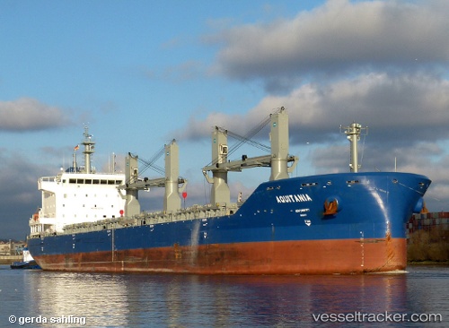
 Aquitania
Current Status
Where is the vessel?
Aquitania is currently in 62 nm SE of Tavares, based on AIS data received about 14h ago.
Latest AIS update:
Current position: 31.77667° S, 50.01333° W (62 nm SE of Tavares)
Average speed (last 7 days): Loading…
Average speed (last 30 days): Loading…
Vessel profile: Aquitania is a Bulk Carrier with dimensions 180m x 30m.
This page combines live AIS, route history, probable destination signals, nearby traffic, and port activity for practical vessel monitoring.
The current position of vessel Aquitania is -31.77667 lat / -50.01333 lng. Updated: 2026-05-20 10:38:40 UTCNearest reference points:
- 24 nm SE of São José do Norte
- Near Rio Grande
Currently sailing under the flag of Singapore ![]()
Aquitania built in 2012 year
Deadweight:
34845 tDetails:
Live Vessel Aquitania Analytics (details, animations, etc.)
Recent AIS points (UTC):
2026-05-20 07:02:05 UTC · -31.63457, -49.41918 · SOG 7.7 kn · COG 252°2026-05-20 07:53:42 UTC · -31.66833, -49.55833 · SOG 8 kn · COG -1°
2026-05-20 09:17:40 UTC · -31.72333, -49.79167 · SOG 9 kn · COG -1°
2026-05-20 10:38:40 UTC · -31.77667, -50.01333 · SOG 9 kn · COG -1°