 STOLT BELUGA
Current Status
Where is the vessel?
STOLT BELUGA is currently in 10 nm E of Port Bolivar, based on AIS data received about 15h ago.
Latest AIS update:
Current position: 29.31145° N, 94.56736° W (10 nm E of Port Bolivar)
Average speed (last 7 days): Loading…
Average speed (last 30 days): Loading…
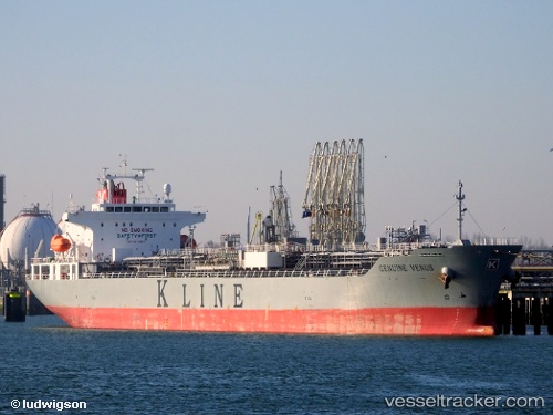
Vessel profile: STOLT BELUGA is a Chemical/Oil Products Tanker with dimensions 171m x 27m.
This page combines live AIS, route history, probable destination signals, nearby traffic, and port activity for practical vessel monitoring.
The current position of vessel STOLT BELUGA is 29.31145 lat / -94.56736 lng. Updated: 2026-05-22 11:52:49 UTCNearest reference points:
- 12 nm SE of Port Bolivar
- Near Port Bolivar
- Near Texas City
Currently sailing under the flag of Liberia ![]()
STOLT BELUGA built in 2013 year
Deadweight:
33552 tDetails:
Live Vessel STOLT BELUGA Analytics (details, animations, etc.)
Recent AIS points (UTC):
2026-05-22 07:43:08 UTC · 29.31167, -94.56667 · SOG 0 kn · COG -1°2026-05-22 09:38:59 UTC · 29.31117, -94.56743 · SOG 0.2 kn · COG 106°
2026-05-22 11:00:14 UTC · 29.31130, -94.56738 · SOG 0 kn · COG -1°
2026-05-22 11:52:49 UTC · 29.31145, -94.56736 · SOG 0 kn · COG -1°