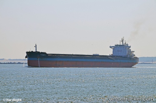
 Pabal
Pabal
Current Status
Where is the vessel?
Pabal is currently in 92 nm SE of Jiazi, based on AIS data received about 14h ago.
Latest AIS update:
Current position: 21.65578° N, 117.07263° E (92 nm SE of Jiazi)
Average speed (last 7 days): Loading…
Average speed (last 30 days): Loading…
Vessel profile: Pabal is a Bulk Carrier with dimensions 225m x 32m.
This page combines live AIS, route history, probable destination signals, nearby traffic, and port activity for practical vessel monitoring.
The current position of vessel Pabal is 21.65578 lat / 117.07263 lng. Updated: 2026-05-19 18:04:35 UTCNearest reference points:
- 64 nm SE of Jiazi
- 53 nm S of Jiazi
- 24 nm SE of Jinghai
Currently sailing under the flag of Antigua Barbuda ![]()
Pabal built in 2012 year
Deadweight:
75378 tDetails:
Live Vessel Pabal Analytics (details, animations, etc.)
Recent AIS points (UTC):
2026-05-19 13:58:09 UTC · 22.34165, 116.83216 · SOG 10.8 kn · COG 163°2026-05-19 15:10:51 UTC · 22.12360, 116.87717 · SOG 10.8 kn · COG -1°
2026-05-19 16:54:22 UTC · 21.85028, 116.98907 · SOG 10.8 kn · COG -1°
2026-05-19 18:04:35 UTC · 21.65578, 117.07263 · SOG 10.5 kn · COG -1°