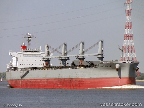
 BRITAIN BAY
Current Status
Where is the vessel?
BRITAIN BAY is currently in 373 nm S of Achau, based on AIS data received about 14h ago.
Latest AIS update:
Current position: 42.82735° N, 165.56065° W (373 nm S of Achau)
Average speed (last 7 days): Loading…
Average speed (last 30 days): Loading…
Vessel profile: BRITAIN BAY is a Bulk Carrier with dimensions m x m.
This page combines live AIS, route history, probable destination signals, nearby traffic, and port activity for practical vessel monitoring.
The current position of vessel BRITAIN BAY is 42.82735 lat / -165.56065 lng. Updated: 2026-06-13 10:41:46 UTCNearest reference points:
- Open sea, approx. 401 nm off the nearest listed port
- Open sea, approx. 402 nm off the nearest listed port
- Open sea, approx. 405 nm off the nearest listed port
Currently sailing under the flag of Singapore ![]()
Details:
Live Vessel BRITAIN BAY Analytics (details, animations, etc.)
Recent AIS points (UTC):
2026-06-13 07:41:34 UTC · 42.94538, -164.83067 · SOG 11.2 kn · COG 256°2026-06-13 07:57:04 UTC · 42.93444, -164.89479 · SOG 11.3 kn · COG 257°
2026-06-13 10:20:27 UTC · 42.84077, -165.47720 · SOG 10.7 kn · COG 257°
2026-06-13 10:41:46 UTC · 42.82735, -165.56065 · SOG 10.7 kn · COG 257°